UAV mine detection system tested in Kyiv Oblast

The Polish charitable foundation Fundacja POSTUP has been testing new technology for detecting mines and explosives using unmanned aerial vehicles (UAVs) near the city of Kyiv.
Source: The Ukrinform news outlet
Details: The testing took place on Tuesday, 21 March, in the Bila Tserkva district of Kyiv Oblast.
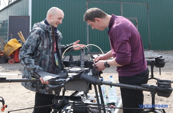
Vlad Kozak, founder and director of the POSTUP Foundation, spoke about the technology's features during a presentation of its components.
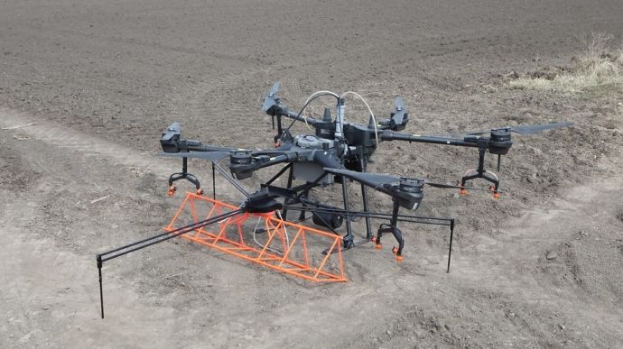
Quote from Kozak: "This system for scanning for mines and explosive objects is called a magnetometer: it is used together with a commercial drone for spraying fields – the Agras T16. And our foundation has additionally developed an attachment [a structure that is fastened to the drone – ed.]. This system allows us to scan a particular field, process the data and get a map of the minefield, which bomb disposal experts can then use in their work."
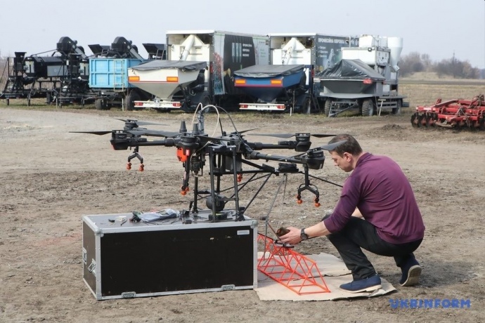
Details: Representatives of POSTUP demonstrated how the mine identification system works at the test site.
A representative of the foundation showed the drone's operation in manual and automatic modes.
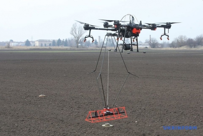
Kozak explained that a magnetometer - a carbon stick a little over a metre long with two sensors at the ends - is inserted into the attachment. These sensors measure the magnetic background of the field at a frequency of 200 Hertz.
When the drone takes off, the magnetometer is lowered so that it is about two metres away from the drone. This reduces the magnetic background from the drone, as there are many metal components in its construction.
This also allows experts to keep the distance from the magnetometer to the field as low as possible. The drone itself flies at a height of three metres from the ground, and the magnetometer is at a distance of 0.3-0.7 metres.
Kozak said the data is recorded from the drone as well as from the magnetometer. The information from the two devices is transferred to a computer and processed, which among other things prevents measurement errors, which can be up to two metres.
"We then receive this data and overlay it on a map, which we can then visualise," Kozak said.
Kozak said the charity uses a German-made magnetometer for measurements, American geophysics software, and commercial DJI Agras drones.
He said the organisation he heads started working on this project in June last year.
"We created the attachment at the end of June, and now we are working on improving and testing it. We are doing this on test fields and have also already tested it on a real minefield in the Balakliia district of Kharkiv Oblast," he said.
According to Kozak, this is the first version, and work on the second prototype is currently being completed.
Representatives of the bomb disposal and explosive units of the State Emergency Service of Ukraine and the police said that the new technology would significantly speed up the inspection of territories and help save the lives of both their personnel and civilians.
"It will be quite a useful thing," said Oleh Kudryk, Representative of the State Emergency Service in Kyiv Oblast.
Earlier, Fundacja POSTUP started cooperation with the State Emergency Service of Ukraine and signed a corresponding agreement.
Journalists fight on their own frontline. Support Ukrainska Pravda or become our patron!


