Media show satellite images of destroyed pontoon crossing over Inhulets river

ROMAN PETRENKO – TUESDAY, 6 SEPTEMBER 2022, 14:21
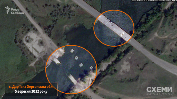
A Planet Labs satellite captured a destroyed pontoon crossing near Dariivka village in Kherson Oblast, which the Russian occupiers used to cross the Inhulets river.
Source: Skhemy (an investigative project of Radio Svoboda)
Details: The satellite images dated 5 September show that the Dariivka bridge, near which the occupiers constructed a pontoon crossing, is considerably damaged. The Pivden (South) Operational Command reported that successful operations of the Armed Forces of Ukraine on the Southern front took place, including the destruction of this crossing.

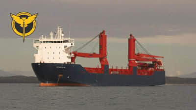
Apart from the destroyed Dariivka pontoon crossing and the damaged Dariivka bridge, located close to one another, damaged buildings near the river pier too can be seen in the Planet Labs satellite images. An identified vessel has been located in the pier since the beginning of the full-scale invasion.
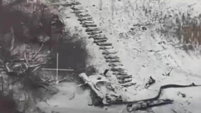
Approximately 250 metres away from the crossing, the satellite also captured the concentration of Russian military equipment and multiple trenches.

Journalists fight on their own frontline. Support Ukrainska Pravda!


